


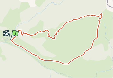

11.9 km | 19.7 km-effort


User


FREE GPS app for hiking
 SityTrail
IGN / Geographical institutes
SityTrail World
The world is yours!
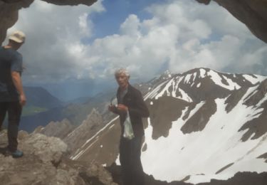
Trail Winter sports of 6 km to be discovered at Auvergne-Rhône-Alpes, Savoy, La Giettaz. This trail is proposed by brichard38.
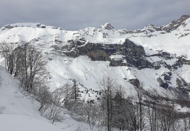
Ski de rando.La trace a été stoppée par erreur pendant la descente.

Walking

Walking

Walking

Other activity
Snowshoes
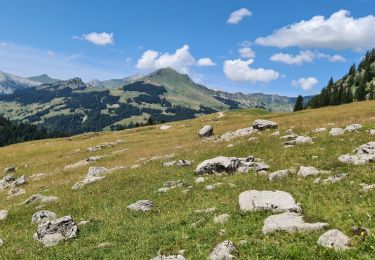
Walking
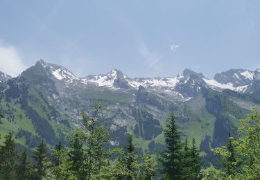
Walking
Walking
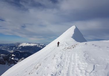
Touring skiing